The Warren, Folkestone
Folkestone · South Kent · sand
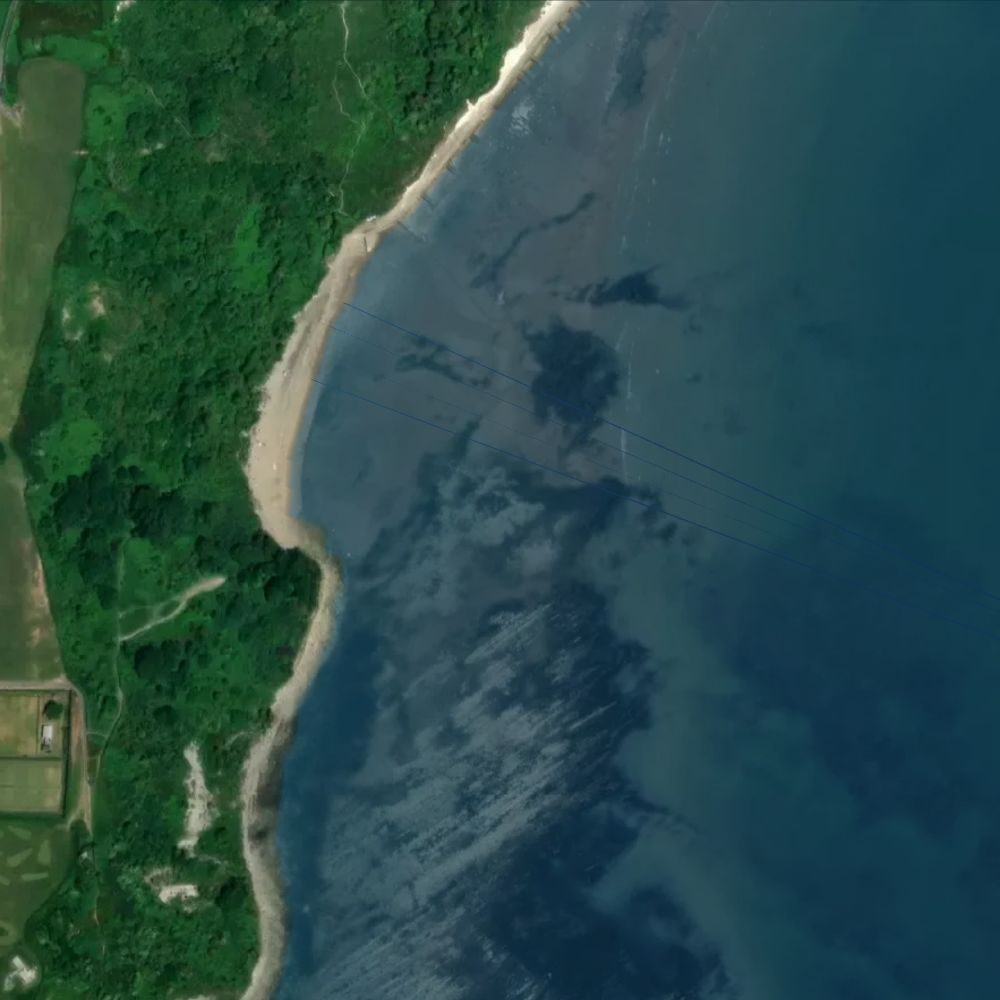
East-facing beach beneath the towering undercliff of Folkestone Warren, a landslip nature reserve. A narrow stretch with toilets and parking but no cafés on the beach.
What the tide does here
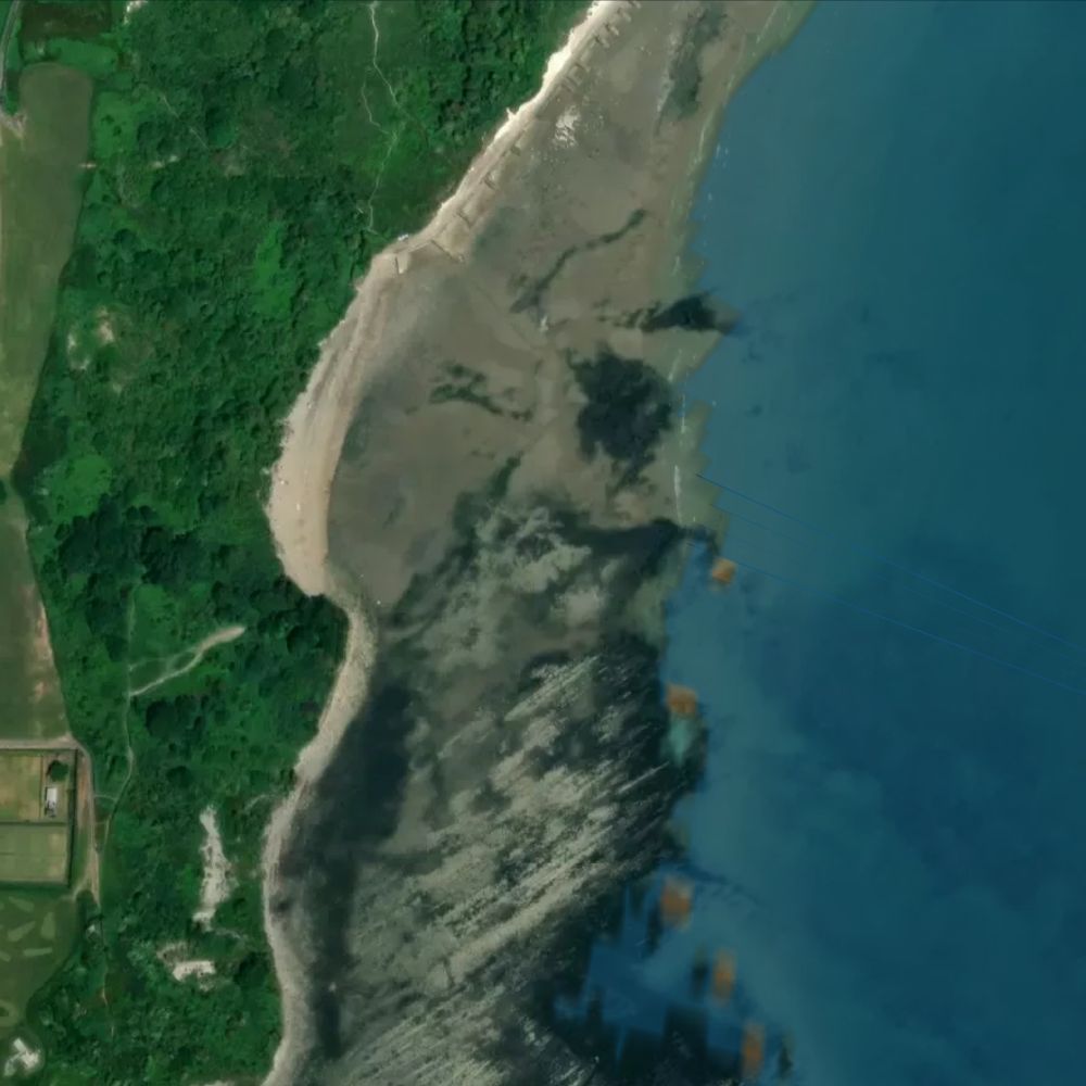
At a spring high tide only about 28% of The Warren is out of the water. By spring low the sea has drawn back roughly 260 metres, uncovering 78% of it — about 43 hectares of sand.
Dogs
We haven't been able to confirm the dog rules for this beach with the council. Please check local signs.
Water quality
This beach is not a designated bathing water, so the Environment Agency does not sample it.
Lifeguards
No RNLI lifeguard patrol here.
Facilities
No facilities recorded at this beach.
All Kent beaches on Beach Days
Tide predictions © UK Hydrographic Office. Beach shape from Environment Agency LIDAR survey data, © Environment Agency, licensed under the Open Government Licence v3.0. Facilities and places from OpenStreetMap, © OpenStreetMap contributors, ODbL. Bathing water classifications from the Environment Agency. Satellite imagery © Mapbox, © Maxar.