Minnis Bay
Birchington · Thanet · sand
Sandy bay with tidal pool, popular with families and watersports.
What the tide does here
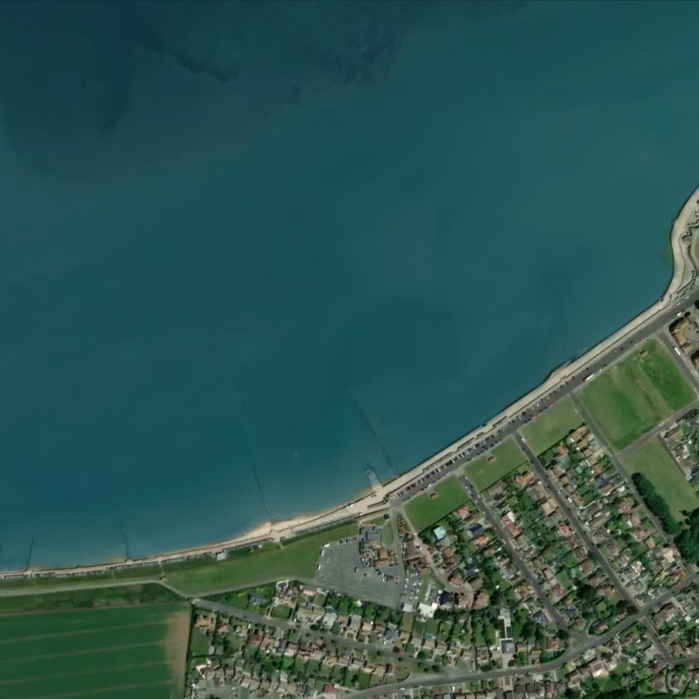
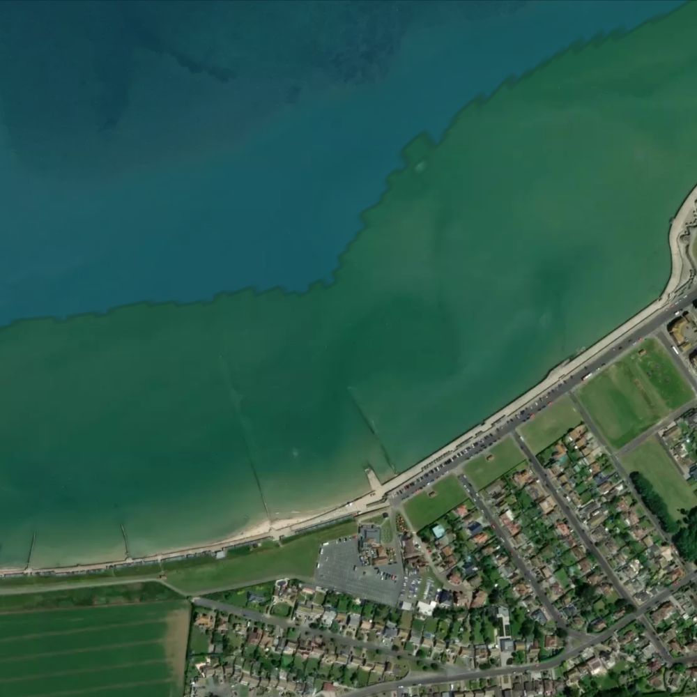
At a spring high tide only about 23% of Minnis Bay is out of the water. By spring low the sea has drawn back roughly 330 metres, uncovering 79% of it — about 112 hectares of sand.
Dogs
Dogs are banned from the main area of Minnis Bay all day from 1 May to 30 September. From 1 October to 30 April, dogs are welcome.
Water quality
Classified Excellent by the Environment Agency in 2025, sampled as "Minnis Bay, Birchington", a designated bathing water since 1988. Daily pollution risk forecasts appear on this page in the bathing season.
Lifeguards
RNLI lifeguards: weekends 23 May-12 Jul, daily 18 Jul-6 Sep, 10:00-18:00.
Awards
Blue Flag & Seaside Award 2026.
Facilities
Nearby: public toilets, parking and a café or kiosk. Access: a step-free path, accessible toilets and pushchair-friendly access. Good promenade access; flat sandy approach to waterline.
All Kent beaches on Beach Days
Tide predictions © UK Hydrographic Office. Beach shape from Environment Agency LIDAR survey data, © Environment Agency, licensed under the Open Government Licence v3.0. Facilities and places from OpenStreetMap, © OpenStreetMap contributors, ODbL. Bathing water classifications from the Environment Agency. Satellite imagery © Mapbox, © Maxar.