Minster Leas
Minster-on-Sea · North Kent · sand
North-east-facing sandy beach below Minster-on-Sea, Isle of Sheppey. A long stretch with just a single car park nearby and no cafés on the beach.
What the tide does here
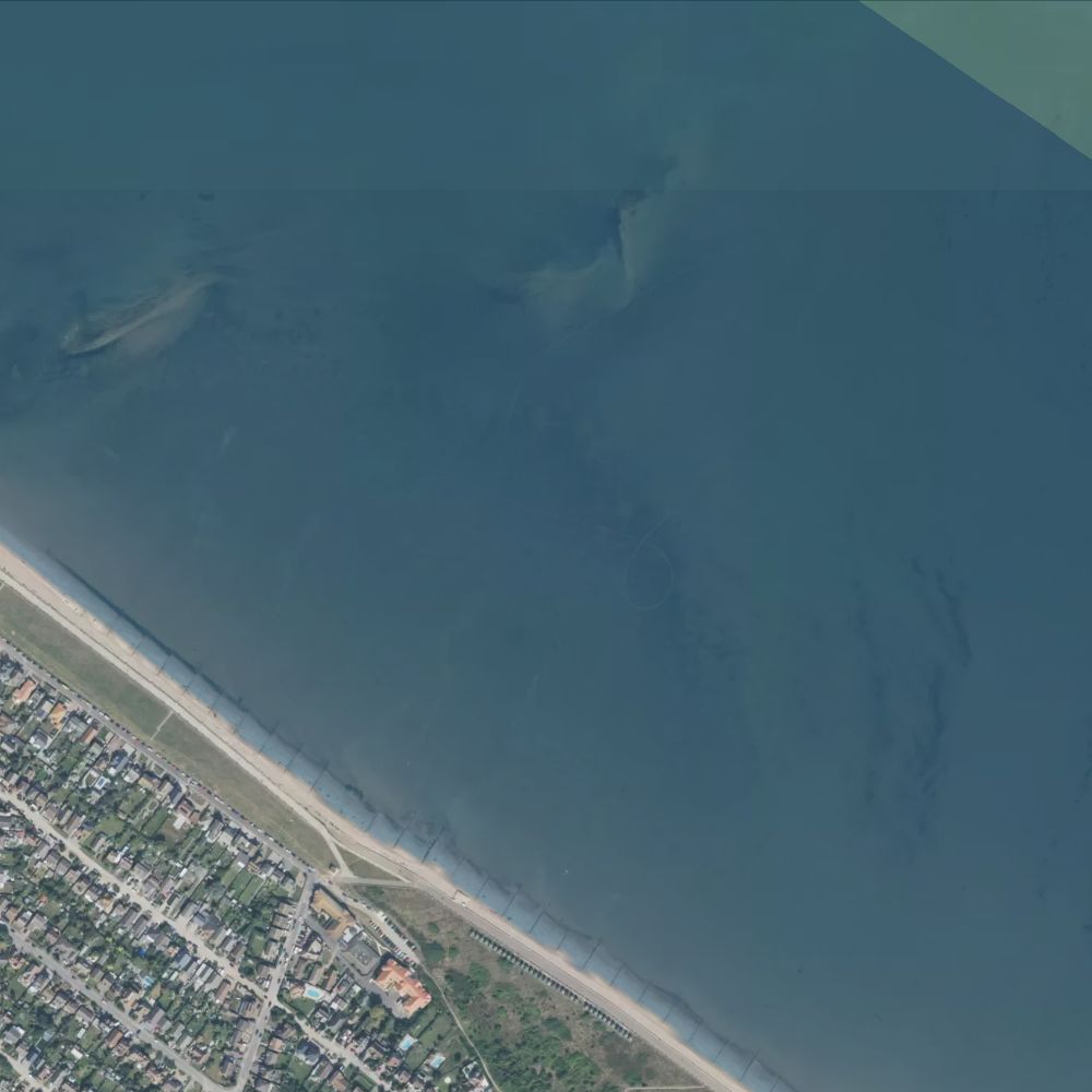
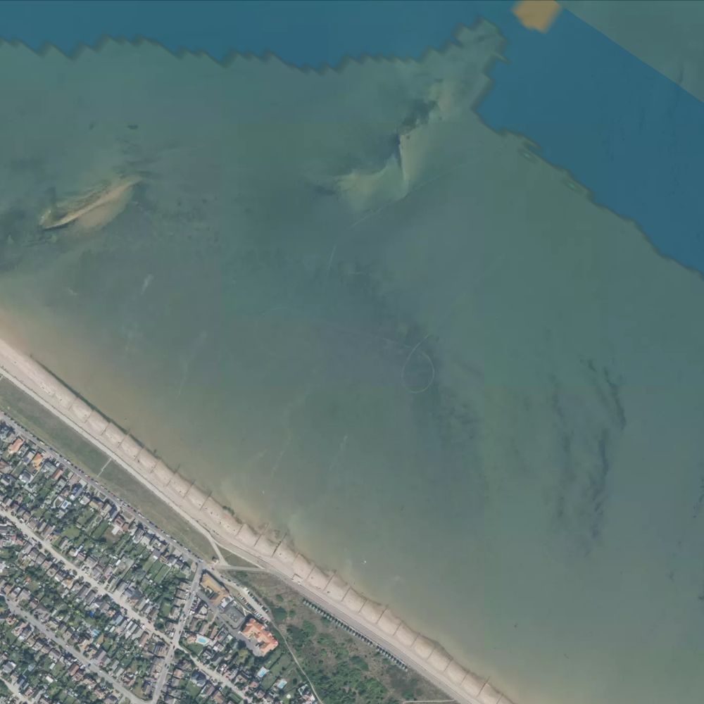
At a spring high tide only about 14% of Minster Leas is out of the water. By spring low the sea has drawn back roughly 620 metres, uncovering 81% of it — about 295 hectares of sand.
Dogs
From 1 May to 30 September dogs are banned from the beach between the Playa pub and the vehicle ramp by Seaside Avenue, and must be on a lead on the promenade there. The rest of the beach is dog-friendly all year.
Water quality
Classified Excellent by the Environment Agency in 2025, a designated bathing water since 2010. Daily pollution risk forecasts appear on this page in the bathing season.
Lifeguards
No RNLI lifeguard patrol here.
Awards
Seaside Award 2026.
Facilities
No facilities recorded at this beach.
All Kent beaches on Beach Days
Tide predictions © UK Hydrographic Office. Beach shape from Environment Agency LIDAR survey data, © Environment Agency, licensed under the Open Government Licence v3.0. Facilities and places from OpenStreetMap, © OpenStreetMap contributors, ODbL. Bathing water classifications from the Environment Agency. Satellite imagery © Mapbox, © Maxar.