Pegwell Bay
Ramsgate · Thanet · sand and shingle
Vast mudflats and salt marsh; important bird reserve.
What the tide does here
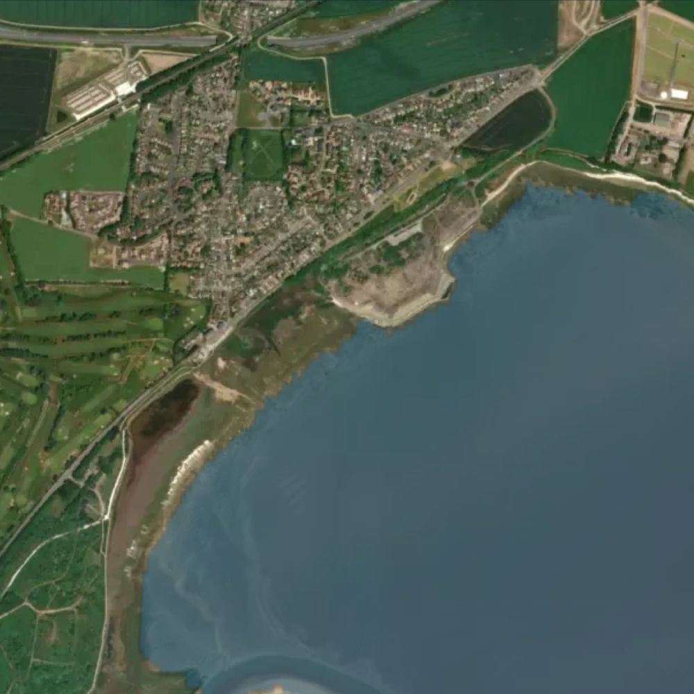
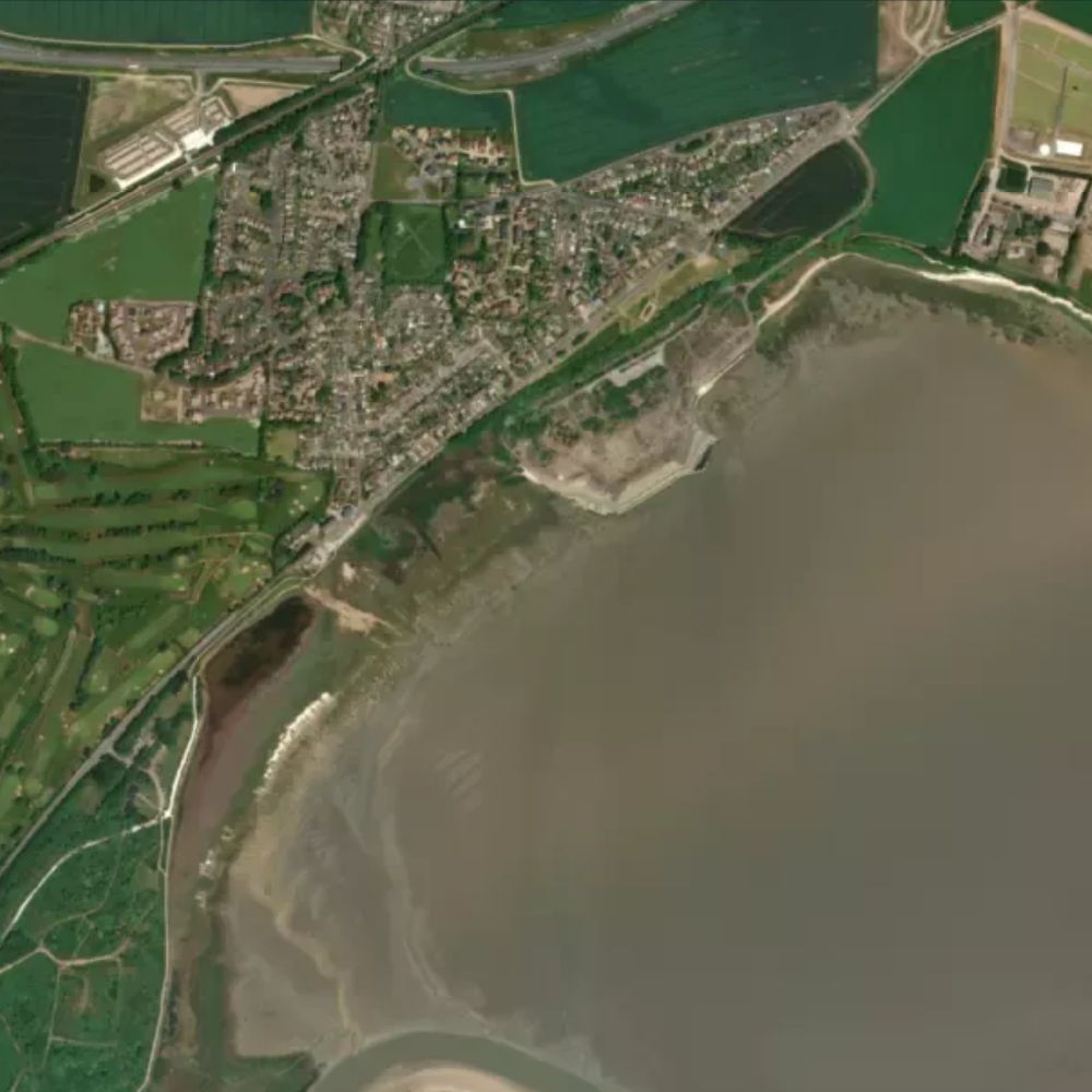
At a spring high tide about 4% of Pegwell Bay is out of the water. By spring low that rises to 95% — around 613 hectares of sand and shingle.
Dogs
Dogs are banned all year from the mudflats, saltmarsh, saline lagoon and upper chalk shore at Pegwell Bay, which is a protected nature reserve.
Water quality
This beach is not a designated bathing water, so the Environment Agency does not sample it.
Lifeguards
No RNLI lifeguard patrol here.
Facilities
Nearby: public toilets and parking. Access: a step-free path, accessible toilets and pushchair-friendly access. Very flat; firm paths through nature reserve.
All Kent beaches on Beach Days
Tide predictions © UK Hydrographic Office. Beach shape from Environment Agency LIDAR survey data, © Environment Agency, licensed under the Open Government Licence v3.0. Facilities and places from OpenStreetMap, © OpenStreetMap contributors, ODbL. Bathing water classifications from the Environment Agency. Satellite imagery © Mapbox, © Maxar.